The Five Best Road Cycling Routes in Alberta

Reading time: 6 minutes

Learn about the best road cycling routes in Alberta, from the Canadian Rockies to the Badlands, including some off-the-beaten-path adventures.

  • Try routes like the Highwood Pass, which is the highest paved road in Canada.
  • Venture to more remote routes include the Red Rock Parkway.
  • Bike and vehicle rentals are available throughout the province.
See related articles

The best road cycling in Alberta isn’t found in a single destination. It’s spread across the entire province, from the towering Canadian Rockies across the vast prairies to the Canadian Badlands. Alberta’s seemingly endless road network traverses a wildly diverse landscape that is easily explored by bicycle. [Text Wrapping Break]

From a road cycling perspective, the province is best divided into four unique regions: Edmonton and the north, Calgary and the foothills, the Canadian Rockies and the Canadian Badlands.

With abundant road cycling opportunities spread across the province, selecting the very best rides isn’t easy. These five routes aren’t just amazing rides, but they’re popular with local cyclists, offer outstanding scenery and are easily accessible. The three off-the-beaten-track routes are incredible, too, but they’re slightly further afield.
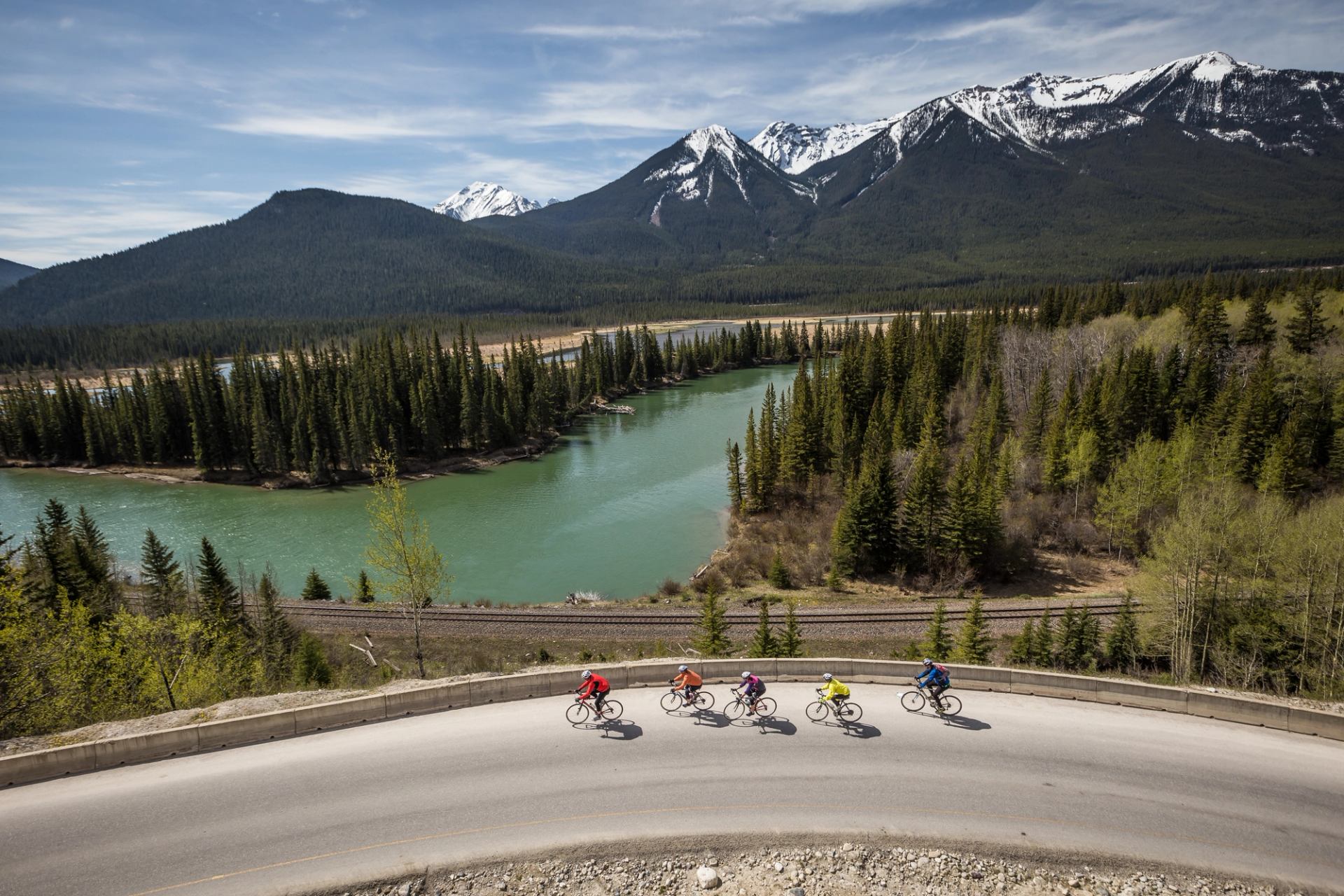
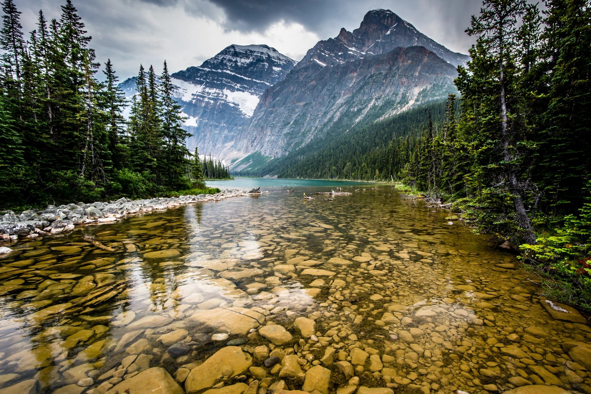
Where will you ride?

1. Edith Cavell Road, Jasper National Park

Ride highlight: The narrow Edith Cavell Road is just under 14 km (8.7 mi) long and climbs 650 m (2,132 ft) as it approaches the iconic Mount Edith Cavell that’s visible from nearly anywhere in Jasper. It’s closed to vehicle traffic until June 15, so road cyclists are encouraged to take advantage of the two-to-three-week snow-free period before the gate opens.

How to get there: The Edith Cavell Road is located 13.6 km (8.5 mi) from Jasper, which makes it either an ideal cycling warmup for the upcoming climb or a short drive. From town, follow Highway 93 south. Immediately after the Jasper National Park gates, where park users must purchase a pass, turn right onto Highway 93A and follow it south for 5 km (3.1 mi).

Scenic shot of Jasper
Views like this will make the ride on the 14-km (8.7-mi) Edith Cavell Road worth the 650-m (2,132 ft) climb.

2. Highwood Pass, Kananaskis Country

Ride highlight: The Highwood Pass is the highest paved road in Canada, at 2,206 m (7,238 ft). While the paved road stretches 147 km (91 mi) between the TransCanada Highway to Longview, most cyclists opt for the 35-km (22-mi) out-and-back ride from the Kings Creek Trailhead. This section includes 625 m (2,050 ft) of climbing, including several sections that would be considered Category 1 in a Union Cycliste Internationale (UCI) road cycling race like the Tour de France. It’s an incredibly popular route throughout the spring, much like Edith Cavell Road, because the snow melts nearly a month before the road opens for motor vehicles on June 15.

How to get there: From Exit 118 on the TransCanada Highway – 33 km (21 mi) east of Canmore or 75 km (47 mi) west of Calgary – follow Highway 40 south for 50 km (31 mi) to the Kings Creek Ridge Trailhead. Cyclists looking for a longer ride might consider parking at either Wedge Pond, a 75-km (47-mi) total ride, or the Barrier Dam, a 115-km (71-mi) total ride.

3. Road to Nepal, Calgary

Ride highlight: In 2013, this Calgary-area road ride featured prominently in the inaugural Tour of Alberta and its King of the Mountains points classification won by Tom-Jelte Slagter. Although highlighted by scenic farmland and wide-open prairie views, the route is located on the edge of the foothills of the Canadian Rockies. Over 50 km (31 mi), there is barely a flat section of road and the total elevation gain climbs above 600 m (1,968 ft).

How to get there: The Road to Nepal route begins just 23 km (14 mi) south of downtown Calgary, at the Highway 22X and 37 Street SW junction.

4. Elk Island Road Ride, Edmonton

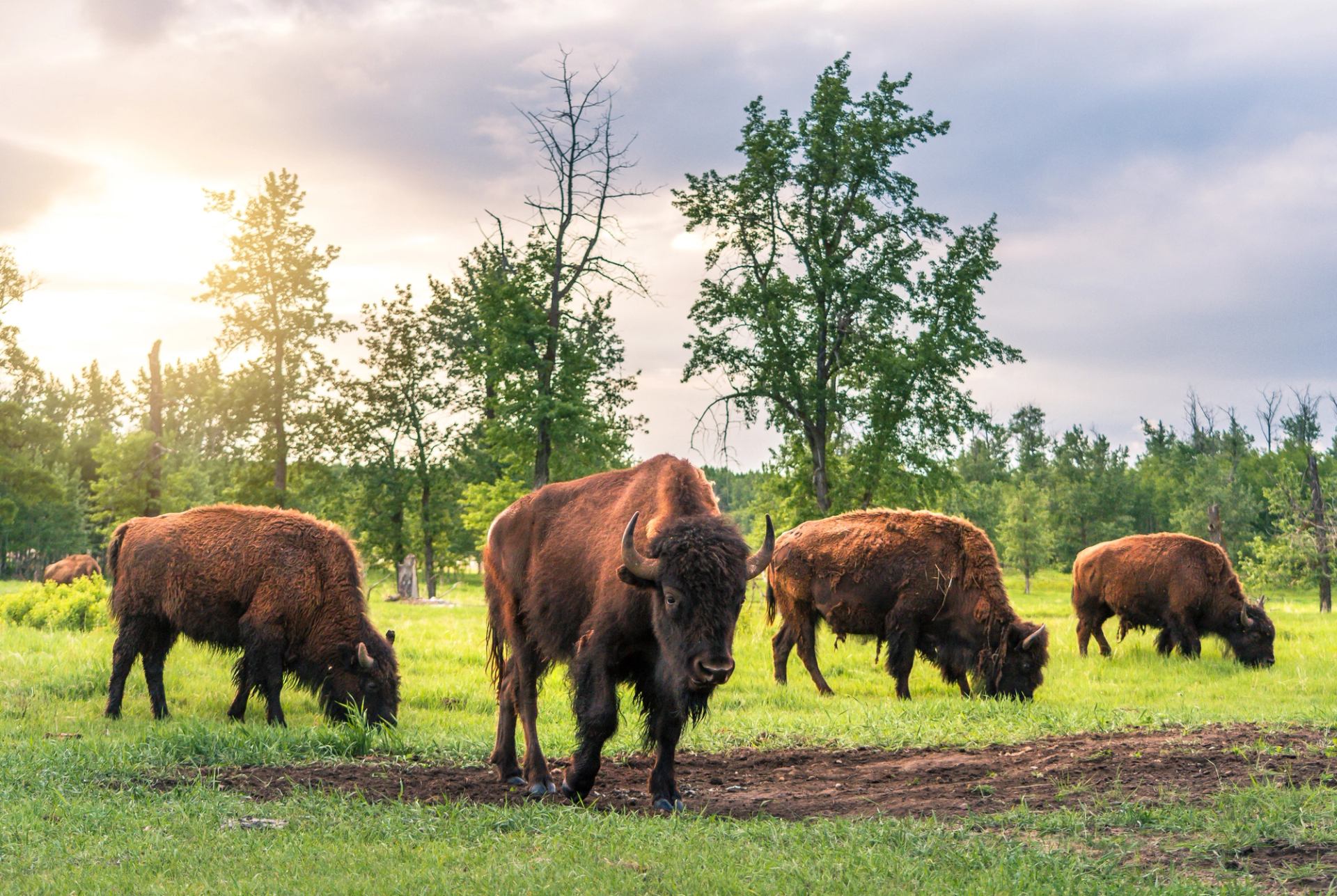
Ride highlight: Riding the 38-km (24-mi) out-and-back road through Elk Island National Park might offer the most wildlife viewing of any ride in Canada. The park is home to the densest population of ungulates in the country, including the American bison, moose, mule deer and white-tail deer. Cyclists should remember to ride cautiously and keep a safe distance from these animals.

How to get there: The Elk Island National Park Visitor Centre is located 49 km (30 mi) east of downtown Edmonton, along Highway 16.

Bison in Elk Island National Park
You’re likely to spot bison during a cycling excursion in Elk Island National Park. Remember to keep a safe distance from all wildlife

5. North Dinosaur Trail, Drumheller

Ride highlight: This incredible 47-km (29-mi) loop ride through Drumheller’s rugged badlands is truly spectacular, yet its most unique feature is its only moment of rest. Near the halfway point, cyclists cross the Red Deer River aboard the Bleriot Ferry, which is one of just six ferries in Alberta.

How to get there: This loop begins and ends right in downtown Drumheller, 135 km (84 mi) northwest of Calgary Alberta along Highway 9.

Off-the-beaten track locations

1. Red Rock Parkway, Waterton Lakes National Park

Ride highlight: Stretching along the dividing line between the Alberta prairies and the Canadian Rockies, the 15-km (9.3-mi) Red Rock Parkway has incredibly unique scenery of two wildly contrasting landscapes. Although the cycling season stretches from May through October, the best time to ride is June when the wildflowers bloom.

How to get there: Waterton Lakes National Park is located in the southwest corner of Alberta, 270 km (168 mi) from Calgary. The Red Rock Parkway begins just 4 km (2.5 mi) east of the Waterton townsite.

2. Medhat to Elkwater, Medicine Hat

Ride highlight: This 140-km (87 mi) out-and-back route avoids the main highway and follows the less-travelled Eagles Butte Road through rolling farmland between Medicine Hat and Elkwater. The turn-around point is the Elkwater resort community, located in Cypress Hills Interprovincial Park, where cyclists have numerous food options to fuel their return journey.

How to get there: The ride begins and ends just off the TransCanada Highway at the Saamis Tepee in Medicine Hat. The turn-around point is Elkwater, in Cypress Hills Interprovincial Park, which is located just off provincial Highway 41.

3. Sylvan Lake Half Ironman Loop

Ride highlight: Circumnavigating Sylvan Lake on a 75-km (47-mi) loop through rolling farmland, the Sylvan Lake Half Ironman route feels wildly rural, yet it’s never far from either the resort town or one of five summer communities developed around the lake.

How to get there: This loop ride begins in Sylvan Lake, which is located 24 km (15 mi) west of Red Deer and Highway 2 that connects Edmonton and Calgary.

Need to know info for road cycling in Alberta

There are a few things to keep in mind for an upcoming cycling trip to Alberta:

  • Rental vehicles are abundant; however, transporting a bicycle can be difficult. Some local bike shops and bike rental locations rent bike racks. It may be necessary to disassemble a bike and transport it inside rental vehicles.
  • Bike rentals are widely available in Alberta, especially in the major tourism destinations that include Jasper, Banff, Canmore, Calgary and Edmonton.
  • Helmets are recommended for all cyclists; however, they’re legally required for anyone aged 17 or younger.