1 / 5
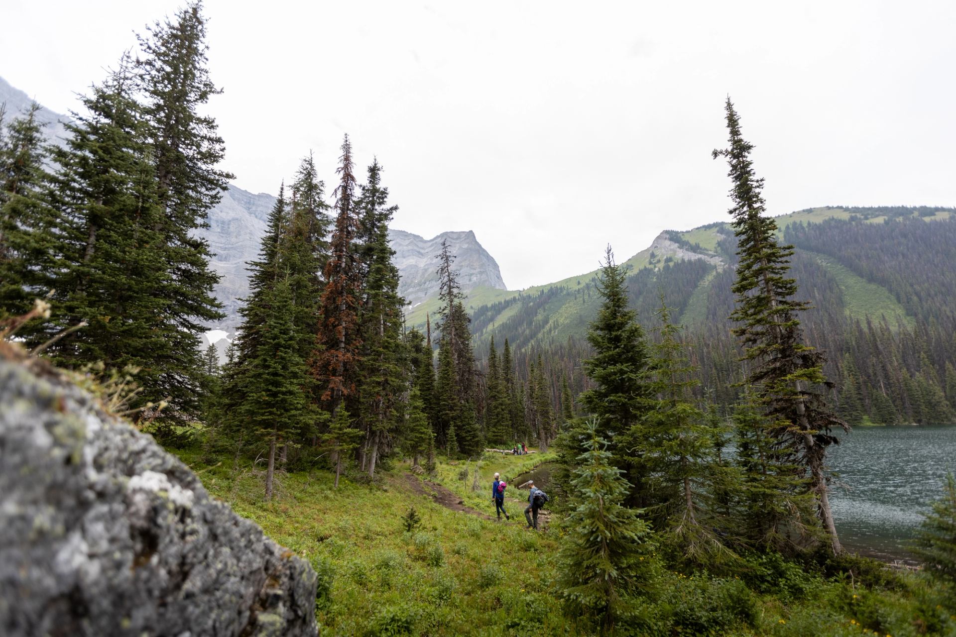
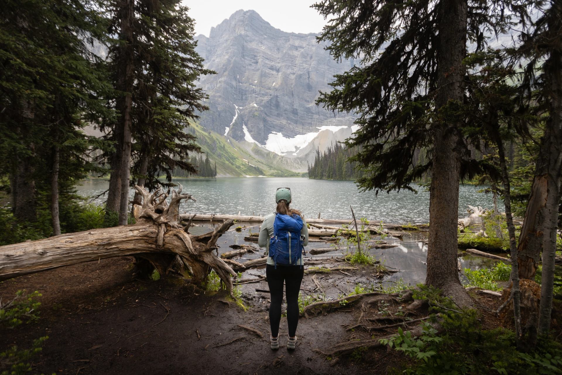
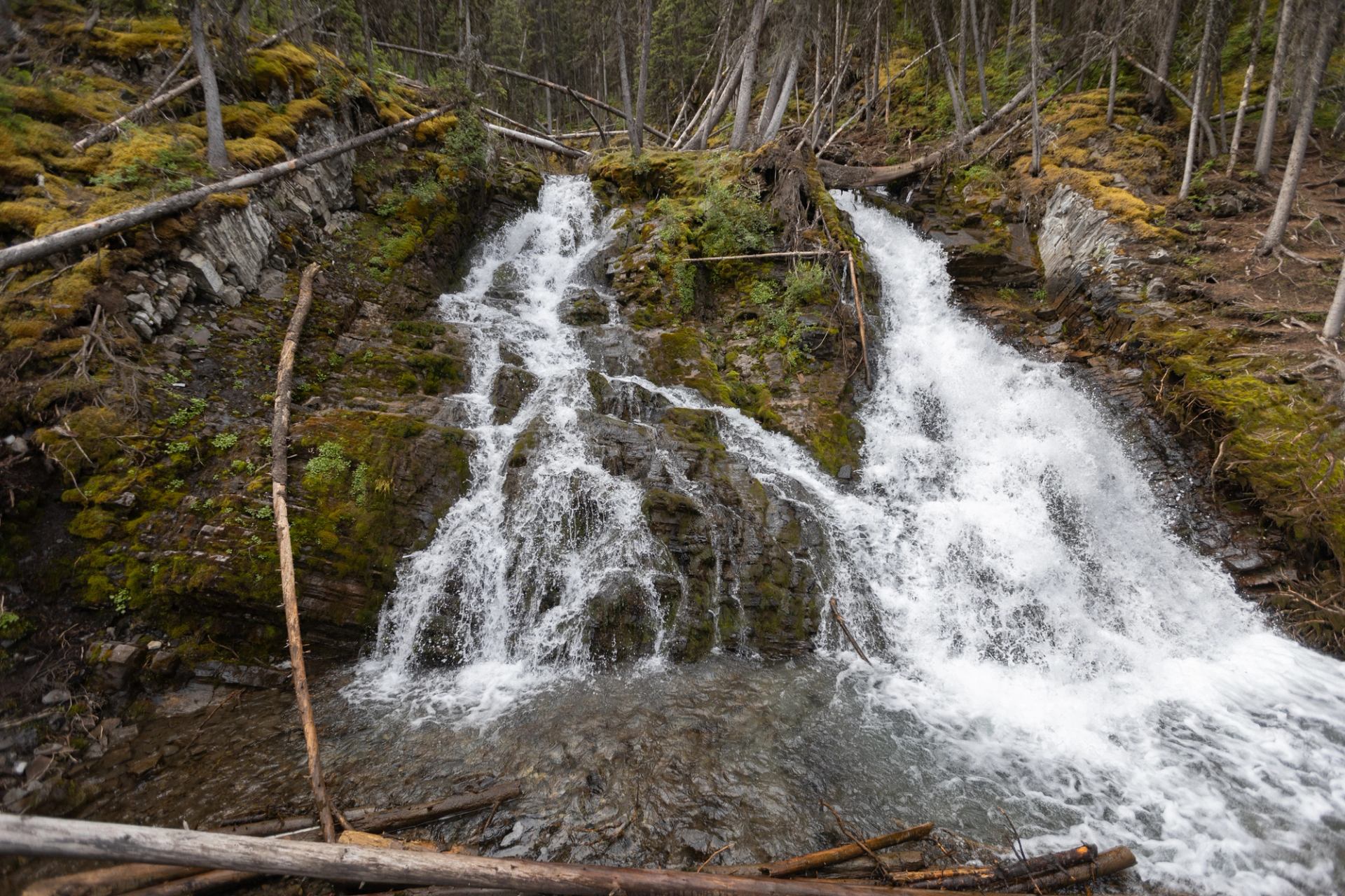
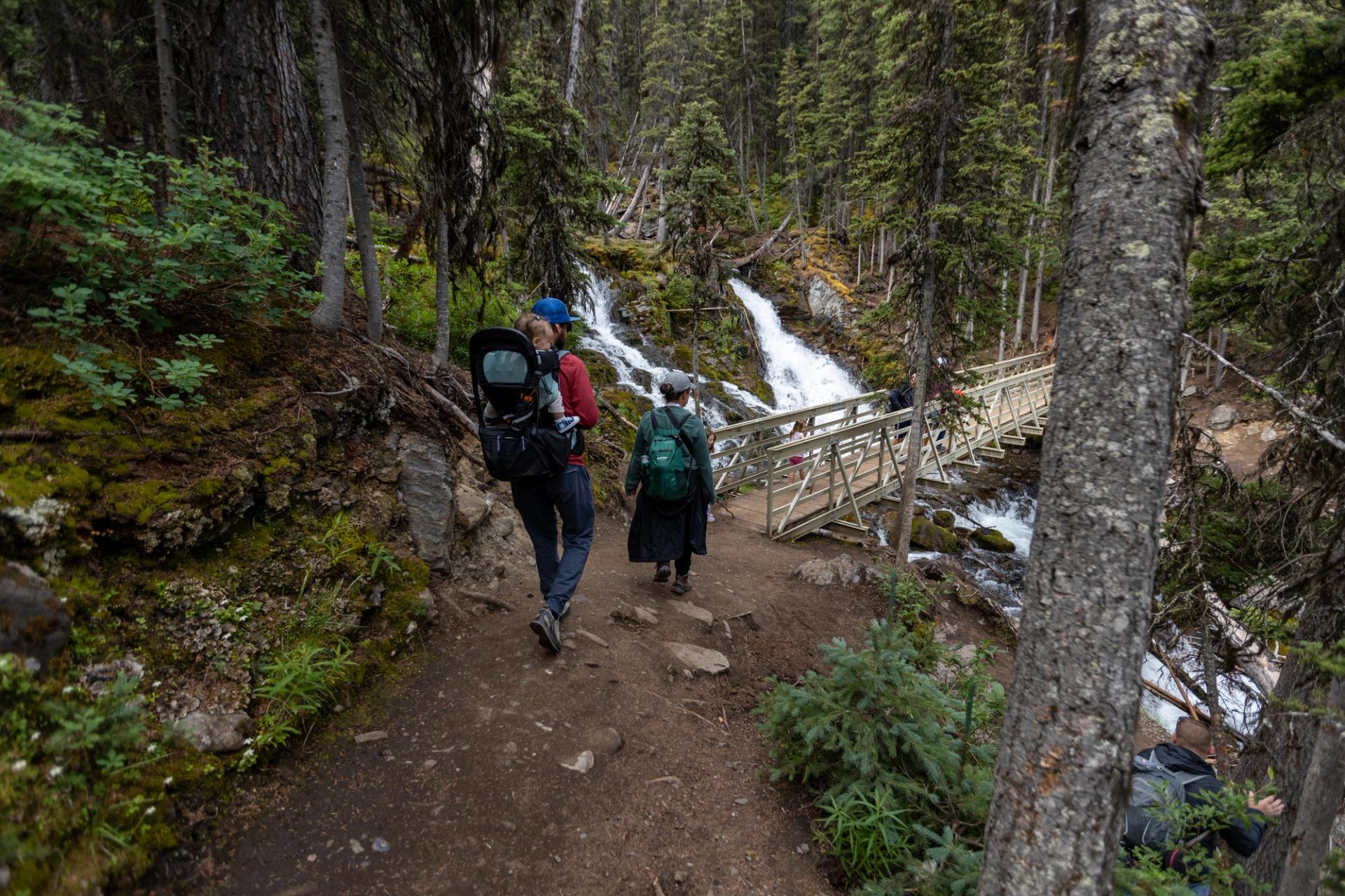
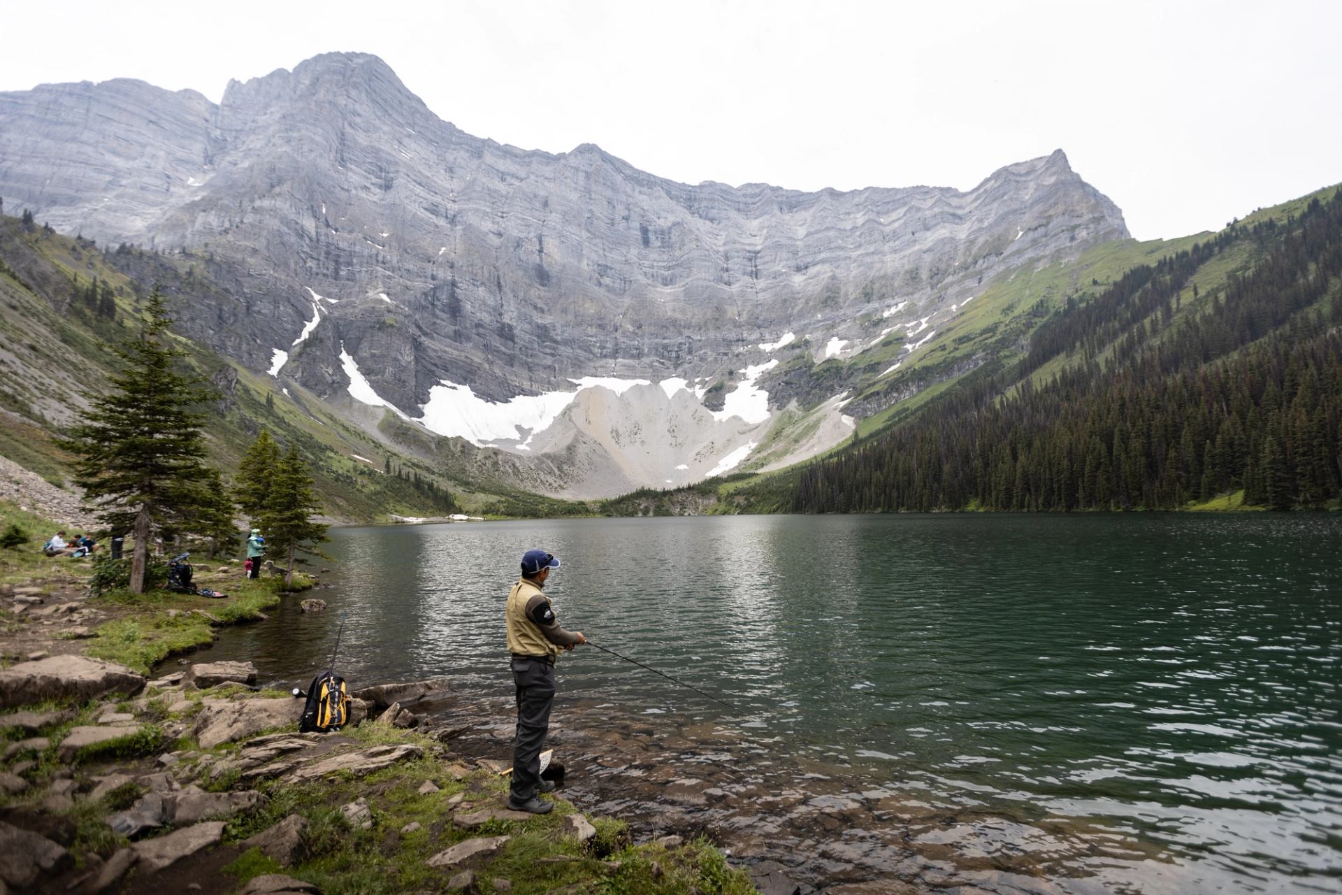
This easy hike in Kananaskis Country is about seven kilometres (four miles) roundtrip. The effort is well worth it as the trail ends at a pristine lake surrounded by alpine meadows and mountain peaks. Start at the trailhead just west of the Upper Kananaskis Lake parking lot. From there, the trail hugs the lakeshore — leading past a waterfall and creek—before heading up a steep slope for about one-and-a-half kilometres (one mile). The remaining journey is short and manageable. From this point to the trail’s end, the elevation gain is 300 m (1,000 ft). Your reward for finishing the hike up is a stunning view of Rawson Lake, a gorgeous green lake beneath Mt. Serrail. Take a few moments to soak it all in (maybe soak your feet, too) or stop for lunch before heading back. Note that the journey can take as long as six hours and bear spray is a must.
Read more